Indonesia Geography: Islands, Volcanoes and Seas

Indonesia's geography is an equatorial archipelago of more than 17,000 islands covering about 1.9 million km² (735,000 sq mi), between the Indian and Pacific oceans. It sits where four tectonic plates meet, which gives it around 127 active volcanoes, frequent earthquakes and a hot, humid climate.
This guide covers the borders, island groups, seas, mountains, climate and wildlife, then ends with how the shape of the country changes the way you plan a trip.
Where Indonesia Is and How Big It Is
Indonesia straddles the equator, between Southeast Asia and Oceania. Its land area is 1,904,569 km² (735,358 sq mi), according to the CIA World Factbook. Most of that area is spread over a handful of big islands, with thousands of small ones scattered between them. For the island count and how it is measured, see Indonesia in figures.
The country shares land borders with three neighbours:
- Malaysia, on the island of Borneo (Kalimantan)
- Papua New Guinea, on the island of New Guinea
- Timor-Leste, on the island of Timor
These borders follow Dutch colonial history rather than natural lines. West Papua became part of Indonesia in 1969, while East Timor gained independence in 2002. The history of Indonesia explains how the lines were drawn.
Travel tip: visit Entikong to see the Malaysia-Indonesia border.
The Island Groups of Indonesia
Indonesia's islands fall into three main groups. The Sunda Islands are split in two: the Greater Sundas (Java, Sumatra, Borneo, Sulawesi) and the Lesser Sundas (Bali, Lombok, Flores and more). They hold much of the country's geological wonder and cultural heritage, and are its most visited region.
| Group | Main islands | What travellers go for |
|---|---|---|
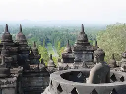
| Greater Sunda Islands | Java, Sumatra, Borneo, Sulawesi | Borobudur (Java), Lake Toba (Sumatra) |
| Lesser Sunda Islands | Bali, Lombok, Flores | Mount Rinjani and the Gili Islands (Lombok) |
| Maluku (Spice Islands) | Ambon, Ternate, Banda Neira | Spice history, diving, cultural immersion |
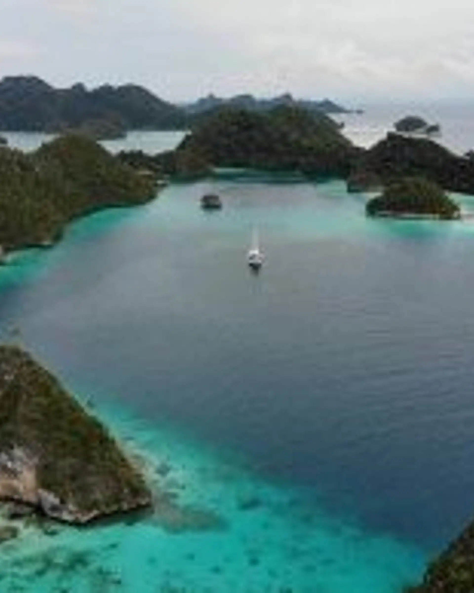
| Papua (Western New Guinea) | New Guinea | Raja Ampat reefs, Baliem Valley, Wamena |
The Maluku Islands are famed for nutmeg and cloves and steeped in colonial maritime history. Papua is a remote frontier rich in tribal traditions and biodiversity. For an overview of the whole country, start with the Indonesia travel guide.
Seas, Oceans and Coastline
Indonesia lies between the Indian Ocean and the Pacific Ocean, with the South China Sea to the northwest. Its coastline measures 54,716 km (about 34,000 mi), according to the Indonesian Cabinet Secretariat (14 November 2016).
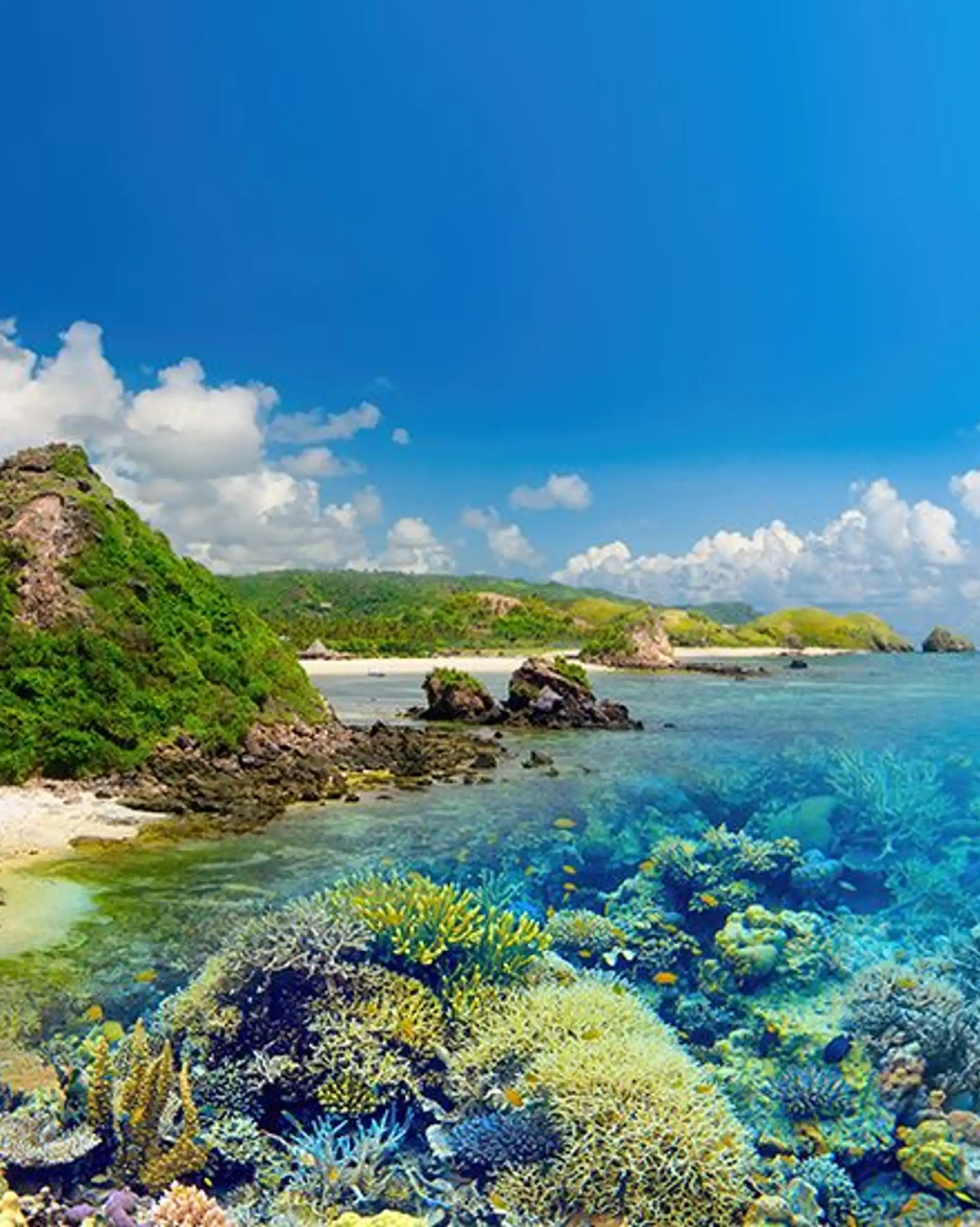
That answers what oceans surround Indonesia, but the seas inside the archipelago matter just as much: the Java, Banda, Flores, Bali, Timor, Celebes and Arafura seas. The Malacca and Makassar straits are key to global trade and marine biodiversity. In the Banda Sea lies the Weber Deep, one of the deepest points in the ocean, and the country has some of the world's most extensive coral reef systems.
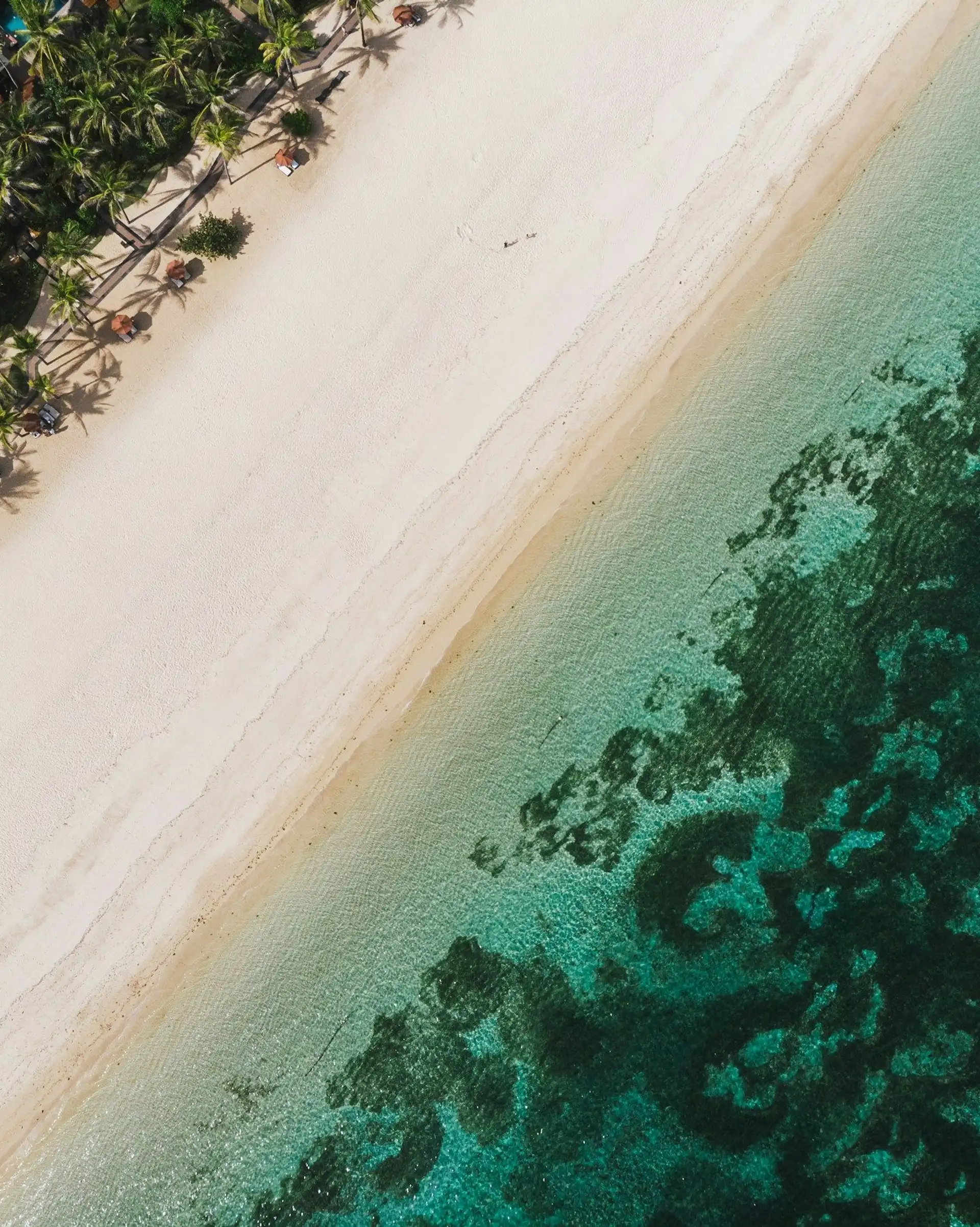
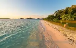
Travel tip: sail the Flores Sea on a liveaboard cruise, or dive Bunaken Marine Park near Sulawesi. For shoreline rather than reef, see our guide to Indonesia's beaches.
Mountains, Volcanoes and Tectonic Activity
Indonesia's terrain is shaped by four plates, the Eurasian, Indo-Australian, Pacific and Philippine Sea plates, and by its place on the Pacific Ring of Fire. It has around 127 active volcanoes (Wikipedia, as of 2012), though lists differ depending on how "active" is counted. Frequent earthquakes, eruptions and geothermal hot springs are part of daily life here: fascinating for visitors, ever-present for locals.
The highest point is Puncak Jaya in Papua, at 4,884 m (16,024 ft), according to National Geographic Education (19 October 2023). It is one of the few equatorial glaciers in the world.
The best-known volcanic landmarks:
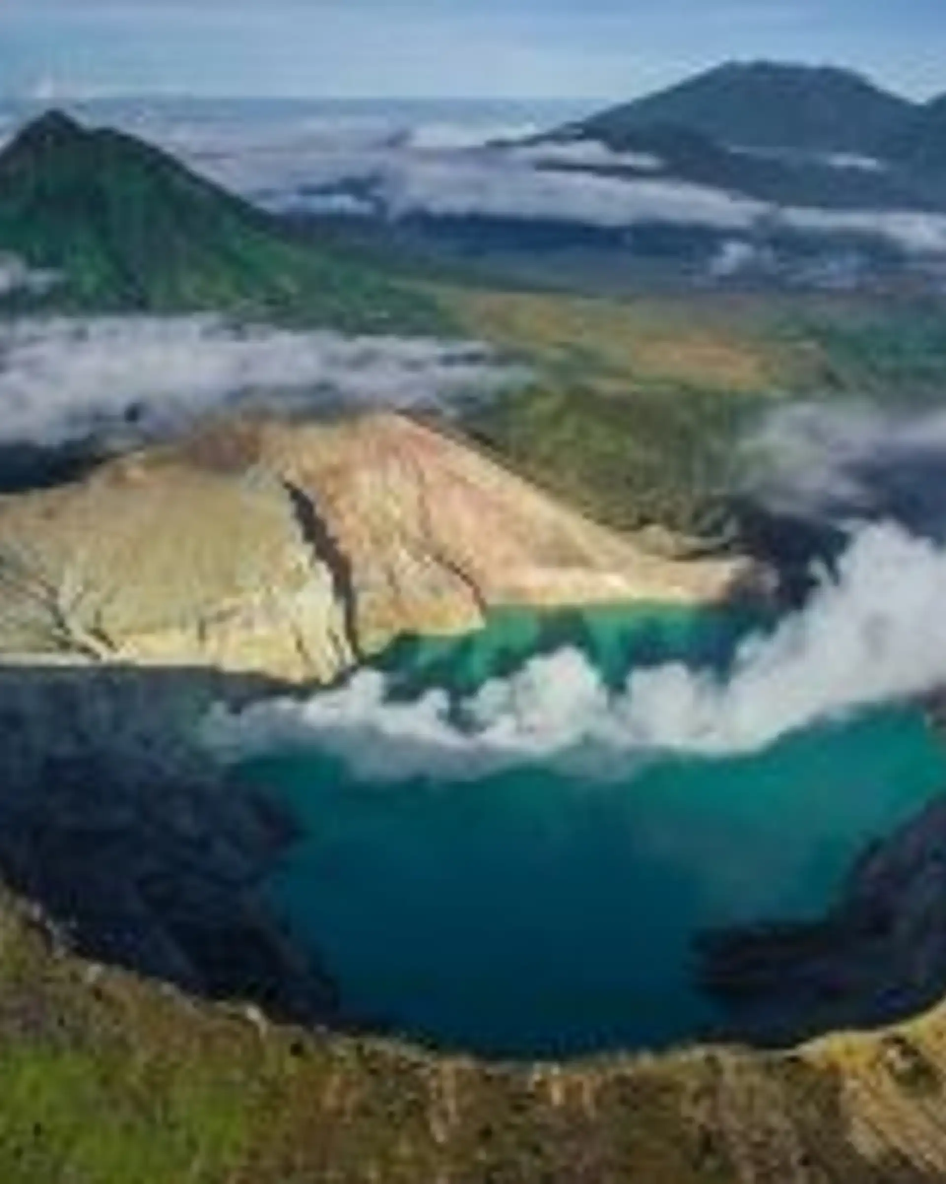
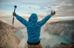
- Mount Bromo and Kawah Ijen (Java): sunrise treks and blue sulphur flames
- Mount Rinjani (Lombok): a sacred summit with sweeping views, covered in our Lombok guide
- Mount Agung (Bali): spiritually revered and scenically dramatic
- Lake Toba (Sumatra): a vast caldera left by a supervolcano eruption more than 70,000 years ago
Travel tip: trek to Bromo at dawn, or descend into Ijen's crater for the glowing blue flames. Volcano status changes quickly, so check the official volcano agency's current alert level before any climb. Our volcano guide covers the main peaks.
Indonesia's Climate: Heat, Humidity and Altitude
Because the country stretches so far east to west and rises so high, conditions run from equatorial rainforest to savannah and alpine terrain, with monsoon seasons and countless microclimates. Coasts are humid and wet, and highlands can be refreshingly cool.
Typical temperatures are about 28°C (82°F) on the coastal plains, 26°C (79°F) inland and 23°C (73°F) in the higher mountains, according to WorkingAbroad. Relative humidity usually sits between 70% and 90% (Wikipedia). Pack for heat at sea level and bring a layer for early starts in the hills.
The Wallace Line and Indonesia's Wildlife
Indonesia is cut by the Wallace Line, a deep-water boundary running between Borneo and Sulawesi and between Bali and Lombok. West of it, plants and animals are mostly Asian; to the east, Australian influences take over. The Wallacea region itself is a global hotspot of endemism, with species found nowhere else.
Biodiversity is the payoff: Indonesia has about 515 mammal species, according to the Convention on Biological Diversity. The highlights for travellers:
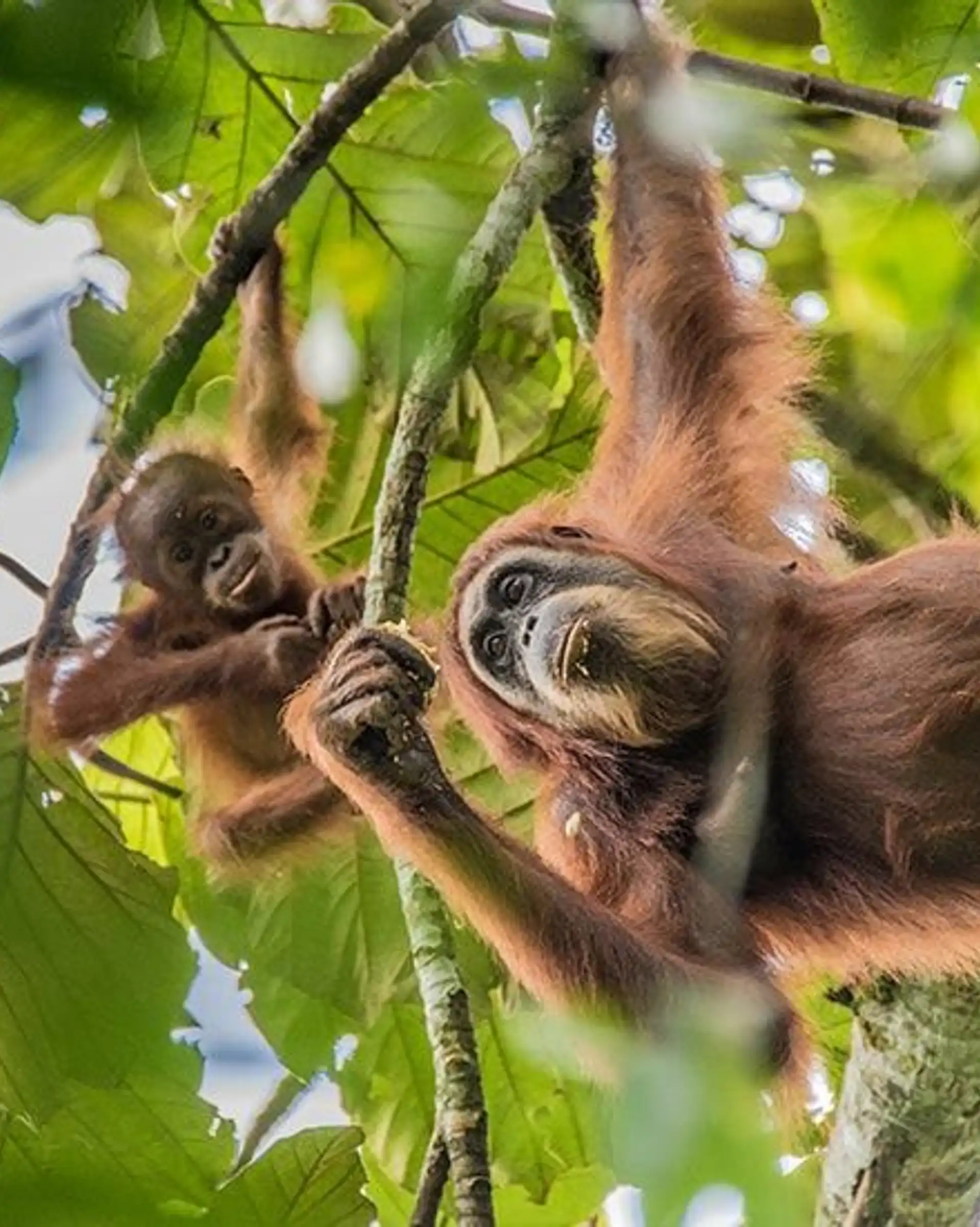
- Orangutans in Borneo and Sumatra
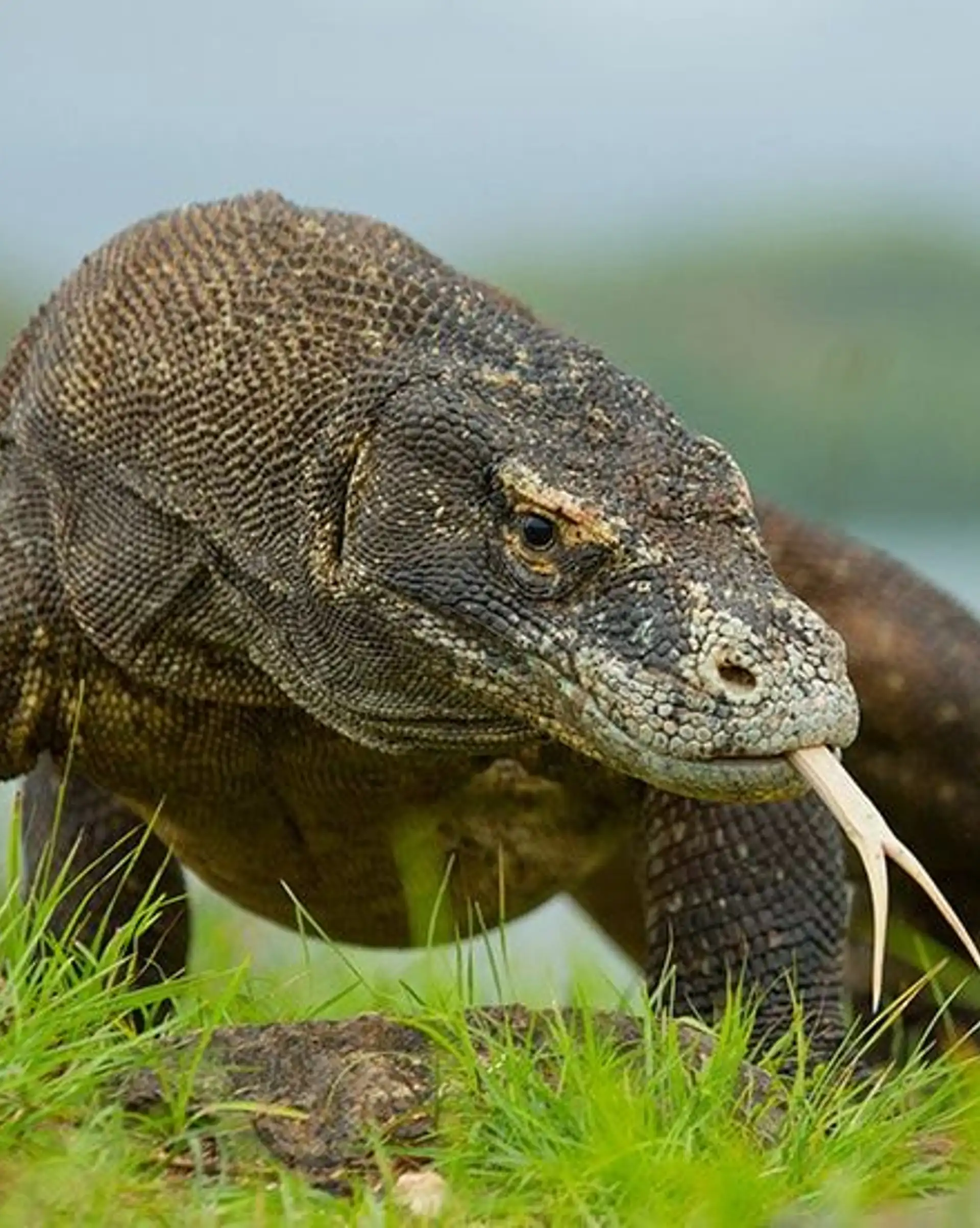
- Komodo dragons on Komodo Island
- Sumatran elephants, Javan rhinos and rare birdlife
Travel tips: Tanjung Puting National Park (Borneo) for orangutans, Way Kambas (Sumatra) for elephants, and Komodo National Park for dragons in the wild. More species and where to see them are in our guide to animals in Indonesia.
How Indonesia's Geography Shapes a Trip
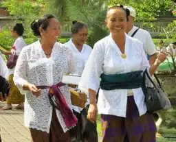
Islands mean boats and domestic flights between regions, and each island has its own culture, language and landscape. Plan a route by travel time, not by distance on the map: a volcano, a reef and a rainforest stop can be close on paper and far apart in practice. Our transport guide explains the options.
| Region | Landscape | Places |
|---|---|---|
| Sumatra | Rainforest, volcanoes, wild orangutans | Bukit Lawang, Lake Toba, Mentawai Islands |
| Java | Cultural heartland, volcanoes, temples | Yogyakarta, Borobudur, Mount Bromo |
| Borneo (Kalimantan) | Jungle expeditions, river safaris | Camp Leakey, Sekonyer River |
| Bali | Temples, surfing, yoga retreats | Ubud, Mount Agung, Lake Bratan |
| Lombok | Hiking, Sasak culture, beaches | Mount Rinjani, Kuta Lombok |
| Flores and Komodo | Dragons, crater lakes, diving | Kelimutu, Labuan Bajo, Wae Rebo |
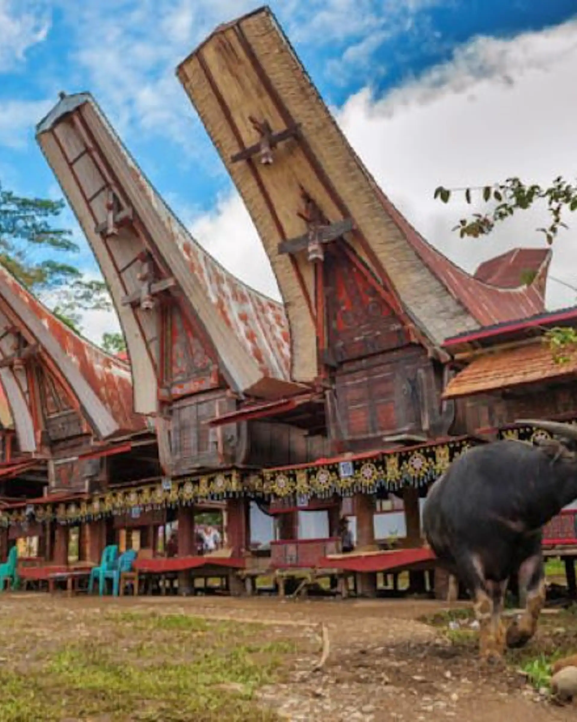
| Sulawesi | Marine life, Torajan culture | Tana Toraja, Lake Tempe, Manado |
| Papua | Tribal encounters, remote adventure | Raja Ampat, Baliem Valley, Jayapura |
For ready-made routes, browse our Indonesia trip ideas or see how a Java to Lombok trip fits together.
Tell us which islands pull you most and a local expert will build the route. Start your Indonesia trip request.
Indonesia geography FAQ
Oil, natural gas, coal, gold and nickel sit alongside plantation and forest products such as palm oil, rubber and tropical hardwoods. Wetlands count too: according to Wikipedia, Indonesia accounted for 36% of global net tidal wetland change between 1999 and 2019.
The 2004 Indian Ocean earthquake and tsunami devastated Aceh and North Sumatra, with around 225,000 deaths across the region, according to Wikipedia (other sources say over 200,000). Check your government's official travel advice before booking, as conditions and guidance change.
About 281.6 million people lived in Indonesia in 2024 (EBSCO estimate of 281,562,465). The Javanese are the largest ethnic group, at about 40.1% in the 2010 census.